Introduction
Hydrometeorological extremes such as severe storms, floods, landslides, and heat waves, can pose both immediate and long-term impacts on the built environment and engineering structures. Modelling, monitoring and further forecasting their dynamics have never been more important as we are facing the climate emergency.
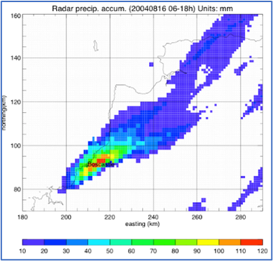
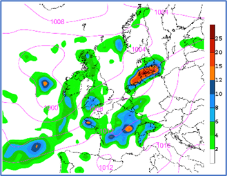
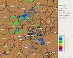
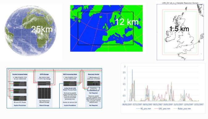
Our group specialise in the large scale, both physically based and data-driven hydrometeorological modelling and applications of advanced remote-sensing devices such as weather radars to study the spatial and temporal dynamics of hydrometeorological extremes. We also work with industrial partners to build, test, and improve both the modelling and monitoring facilities. We are proud to have carried out many projects with partners from developing countries to address the development related issues associated with climate change and extremes. Specifically, we welcome research collaboration in the following areas:
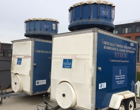
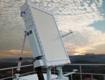
- Advanced weather radar monitoring of extreme storms and nowcasting.
- HPC-based large scale physical modelling of storms and floods interfacing with the global climate simulations and numerical weather prediction.
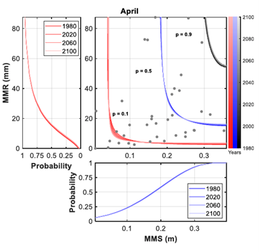
- AI and machine learning based methods for predicting spatial and temporal dynamics of extreme storms, floods.