
About
Professor Adrian Luckman is a member of the Geography Department at Swansea University.
D.Phil., Electronic Engineering, University of York, 1991; BSc. (Hons) Electronic Engineering, University of York, 1987
Professor Adrian Luckman is a member of the Geography Department at Swansea University.
D.Phil., Electronic Engineering, University of York, 1991; BSc. (Hons) Electronic Engineering, University of York, 1987
Geographic Information Systems (GIS)
Earth Observation
Glaciology
The Cryosphere
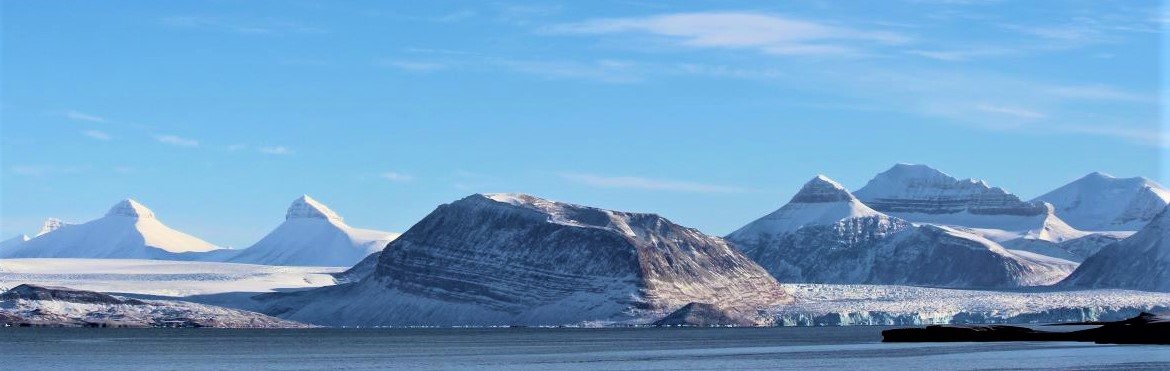
Ice in nature is beautiful, abundant, intriguing, ever changing, and fragile. It flows, fractures and behaves in a way which reflects both its crystalline structure, and its great volume. I satisfy my fascination for glaciers and ice sheets by monitoring them from space, using satellite imaging systems to study how they behave and how they are responding to climate change.
I specialize in the use of synthetic aperture radar (SAR) which uses microwave energy to acquire images regardless of cloud cover and polar night – a capability that is particularly valuable in the Arctic and Antarctic. My expertise is in using regularly acquired images to derive surface flow rates and dynamic change.
My work has encompassed the Himalayas, Greenland, Svalbard and Antarctica, and I have been lucky enough to do fieldwork in all these regions.
My recent work has concentrated on the stability of ice shelves – the floating extensions of glaciers that fringe most of Antarctica, and iceberg calving – the process by which ice is lost to the ocean. Calving events range from small chunks falling from glaciers to huge episodes, such as the formation in 2017 of Iceberg A-68, one quarter the size of Wales.
For some examples of my work, please see my Wordpress page:
This module teaches theory and skills in Geographic Information Systems (GIS), a branch of Geography that encompasses data with embedded geographic attributes (geo-spatial data), tools to deal with data of this nature, and applications of GIS. The theoretical aspects of the module deal with coordinate reference systems, data types and models, processing algorithms, and common sources of data. The practical aspects focus on the open-source software package QGIS (Quantum GIS), introducing many of the most commonly used vector and raster analysis techniques, and teaching how to take multiple sources of geo-spatial data, synthesize them together, and produce maps which are complete and communicative. The module is assessed through the supported development of a small GIS project to showcase analysis skills and presentation using maps. Students should be familiar with basic computing and will benefit from numeracy skills.
2013 - Present
2007 - 2013
2003 - 2007
1997 - 2003
1992 - 1997
1991 - 1991
1990 - 1991
A research group dedicated to furthering knowledge in the quantification of the past and future contribution from glaciers and ice sheets to sea-level rise; the processes driving the present rapid and dramatic changes observed in glaciers, and the instabilities inherent in glacial systems; and the record of palaeo-ice mass instabilities and the processes that drove these changes.