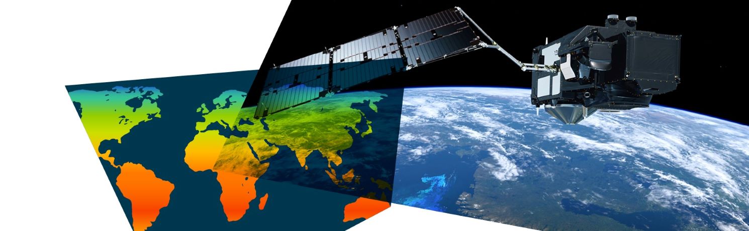
The Challenge
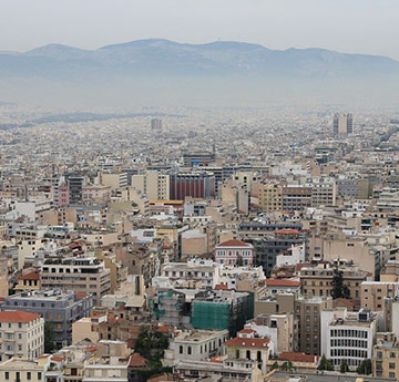
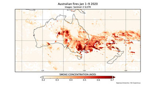
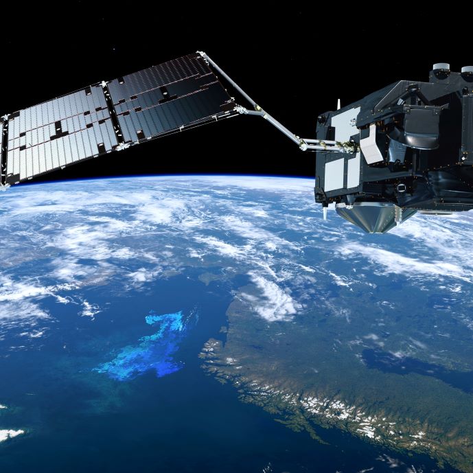
Predicting the weather as accurately as possible is vitally important for many sectors of the economy such as transport, agriculture and health services. Longer-term climate projections are needed for planning cost-effective mitigation and adaptation to climate change. Both need global information which can only be obtained from satellites. For example an increase in the Earth’s surface reflectance to reflect only 4% more sunlight would have roughly the same effect on the Earth’s energy balance as the removal of all the carbon dioxide that has been emitted by humans to date. Satellites directly measure this reflected sunlight. However they view the Earth through its atmosphere, which itself contains haze from sources such as desert dust, urban pollution, and wildfires. A major challenge is how to make use of such information from a growing constellation of satellites to improve forecasting of weather, climate and air quality.
The Global Environmental Modelling and Earth Observation (GEMEO) group, led by Prof Peter North, uses satellite imagery and environmental models to improve weather prediction models, working with major meteorological agencies around the world. With funding from the European Space Agency, an innovation developed at Swansea allows us to ‘see through’ the hazy atmosphere to obtain very precise measurements of surface reflectance needed for weather and climate modelling, and also to provide information on the atmospheric needed for air quality modelling. With researchers at University College London, Swansea developed a widely used dataset of the Earth’s reflectance. Further methods were developed by Swansea University in collaboration with UK Met Office to use this surface reflectance to better forecast weather and climate.
The Impact
Forecast models and datasets developed and improved by GEMEO are regularly used by UK and European agencies (such as the UK Met office and The European Space Agency). The European Centre for Medium Range Weather Forecast (ECMWF) has used Swansea University datasets to improve regional air quality models, and for climate and solar energy analysis. Swansea University is collaborating with EUMETSAT to produce a real time satellite map of atmospheric pollution to improve air quality forecasting, available to the public and weather forecasting agencies. Several national agencies have used the improved Swansea datasets to benchmark their climate models while in the UK the data sets have been used to significantly improve daily weather forecast, and predict more realistic climate forecasts which feed into the Intergovernmental Panel on Climate Change (IPCC).