These articles are now archived and will no longer be updated.
An international team of researchers – including some from Swansea University – have used remotely sensed data available through a Google Earth Engine to identify, map, and validate instream infrastructure such as dams, weirs, and locks across the world.
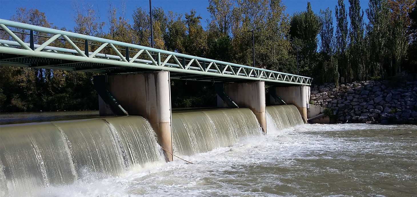
In a paper published in Earth’s Future, the instream infrastructure mapped by the project included large and small dams, weirs, locks, as well as partial dams – all of which can impede movement of water, materials, nutrients, and species within the world’s rivers.
Identifying and mapping the locations of instream infrastructure is a primary requirement for making decisions about river restoration and to identify solutions that can return benefits for both people and nature.
While existing databases mapped locations of the world’s larger, and some smaller, infrastructure – these were incomplete, mapped using a variety of methods, and had varying levels of spatial accuracy.
The team of researchers and members of the public – led by Aaron Whitmore at Virginia Tech – first designed bespoke code that enabled project participants to access Google Earth’s satellite imagery on their own computers.
Participants then scrolled along river centrelines loaded into Google Earth and mapped a point on top of any observed infrastructure as they went along. They classified each mapped infrastructure into one of seven classes defined based on visual characteristic and likely water flow alteration.
Given the 2D nature of Google Earth imagery and that different people with varied experiences were mapping infrastructure, the team then undertook an initial validation, using several metrics, of their mapping in two regions – one in the US and one in France.
The results showed that all participants mapped instream infrastructure with between 90 and 100% accuracy when compared with existing regional scale datasets in US and France. Participants also agreed amongst each other 70% of the time as to the type of infrastructure they were mapping.
Infrastructure mapped by the project participants was also compared to existing global databases and found to provide more detail than what is currently mapped. Between 13 and 15 times more instream infrastructure was mapped by participants than documented in existing global inventories in the US and France study areas.
Theses initial findings highlight the need for systematic approaches to mapping infrastructure, even for regions with relatively good records such as the contiguous US and France.
Aaron Whitmore, who lead the research from Virginia Tech University said: “This work is exciting because not only does it produce new data in an area of need, but it brings together scientists and members of the public to do so. It's a true win-win."
Dr Stephanie Januchowski-Hartley, a co-author on the study from Swansea University added: “Our results highlight that through a collaborative approach with members of the public, we can systematically enhance existing instream infrastructure inventories across the globe.”
The project is nearing completion – now with infrastructure mapped across the entire globe. The initial mapping and validation enabled the team to improve their training and mapping of infrastructure that is not typically included in other global-scale databases. Once completed the Global River Obstruction Database the team has compiled will enable a better understanding of impacts caused by instream infrastructure on hydrological flow and geographic range alterations on fishes and fisheries resources.