Researchers at the Global Environmental Modelling and Earth Observation (GEMEO) group at Swansea University have used satellite data to improve weather forecasts and climate predictions. The Swansea University team has worked directly with two leading meteorological agencies – the UK Met Office and the European Centre for Medium-Range Weather Forecasts (ECMWF) – to refine the way in which land is represented in their numerical weather prediction models. Improved weather forecasting is of clear benefit to society, facilitating day-to-day planning by the public, agriculture, commerce, utility suppliers and transport sectors, as well as preparation for extreme weather events such as floods, heat waves and droughts. The ECMWF reports improvement of precipitation forecast, increasing predicted summer rainfall by 7%, and its variability, which is relevant to flood and drought forecast, increased by 30%.
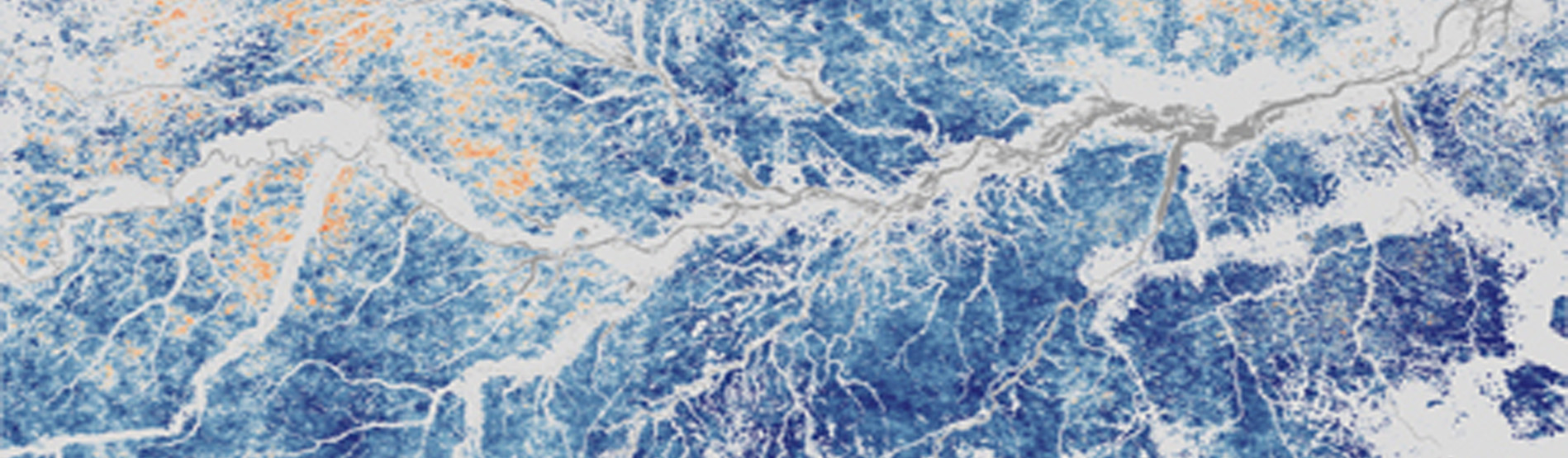
The most recent impact of research involving GEMEO scientists was published in Nature (2014). This investigated vegetation seasonal cycles and contradicted the widely-debated theory that the Amazon rainforest becomes more productive during seasonal dry periods. This improved understanding of processes within tropical forests has implications for modelling their response to climate change, and in estimating future atmospheric carbon dioxide.
Picture: Blue colours represent areas in Amazon forests where sensors and models can overestimate the green-up of vegetation; white represents areas that lack forest cover. The map is based on a model that extends the sun-sensor correction to all pixels in the southern Amazon. (Credit: Doug Morton and NASA's Earth Observatory)